New Jersey officials declared a state of emergency for the entire state with up to 18 inches of snow and a dangerous mix of ice in the forecast this weekend.
Gov. Mikie Sherrill announced the state of emergency at an afternoon press conference and urged residents to make plans to stay home during the multi-day storm.
“Please continue making plans to stay indoors on Sunday,” Sherrill said.
“I’m urging New Jerseyans to make plans to avoid travel Saturday evening and all day Sunday,” Sherrill said. “I’m also announcing a commercial vehicle travel restriction on interstate highways.”
The National Weather Service has issued winter storm warnings for the entire state through Monday afternoon or Monday evening, depending on the county.
“It’s been a while since we’ve seen a storm like this,” Sherrill said. “Please stay off the roads. Don’t commit to anything Monday morning. We may still be digging out.”
New Jersey Transit will provide a recommendation to Sherrill on Saturday morning about adjustments to public transportation schedules, the agency’s CEO Kris Kolluri said. T
The agency has already deployed crews to strategic locations for quick responses during the storm, according to Kolluri.
“Our number-one focus is on safety. Safety of our customers. Safety of our employees,” Kolluri said.
Kolluri said the agency will be in close communication with Amtrak during the storm. Amtrak manages the rail network that NJ Transit operates on.
Sherrill said additional salt is available to municipalities through Morton’s who is prioritizing supplying local governments after some municipalities reported shortages earlier this week.
“There is high confidence in major impacts from snowfall, sleet, and ice accumulations across much of the area, making travel very difficult, and potentially resulting in widespread closures and infrastructure impacts,” the National Weather Service said Friday afternoon.
“Widespread snow and sleet accumulations of 6-16 inches expected,” the weather service said. “Snowfall rates near 1-2 inches per hour possible during the daytime period Sunday.”
The forecast shifted for parts of the state on Friday to include increasing concerns for a dangerous layer of ice across the southern half of the state.
The mix of sleet, freezing rain and plain rain could result in lower snowfall totals of 8 to 12 inches in those counties, the weather service said.
But ice accumulations of 0.1 to 0.3 inches would turn roads treacherous and increase the chances for power outages from falling tree limbs from the weight of the ice.
Northern New Jersey remains on track for 12 to 16 inches of snow, the weather service said.
AccuWeather’s forecast calls for 6 to 12 inches of snow across nearly all of New Jersey and 3 to 6 inches in the southeastern corner of the state.
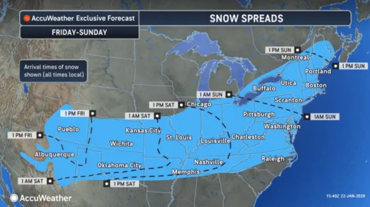
Snow is expected to begin late Saturday and become moderate to heavy at times Sunday morning through the afternoon, with the heaviest precipitation occurring during that window.
Once the storm winds down on Monday, brutally cold temperatures are expected through much of next week.
Highs through the middle of next week are expected to struggle to reach the low 20s across most locations, with wind chills falling below zero again Monday and Tuesday nights.
Similar temperatures are expected Wednesday and Thursday, though wind chills should improve somewhat as winds are expected to subside, forecasters said.
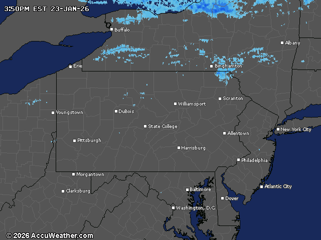
Current weather radar